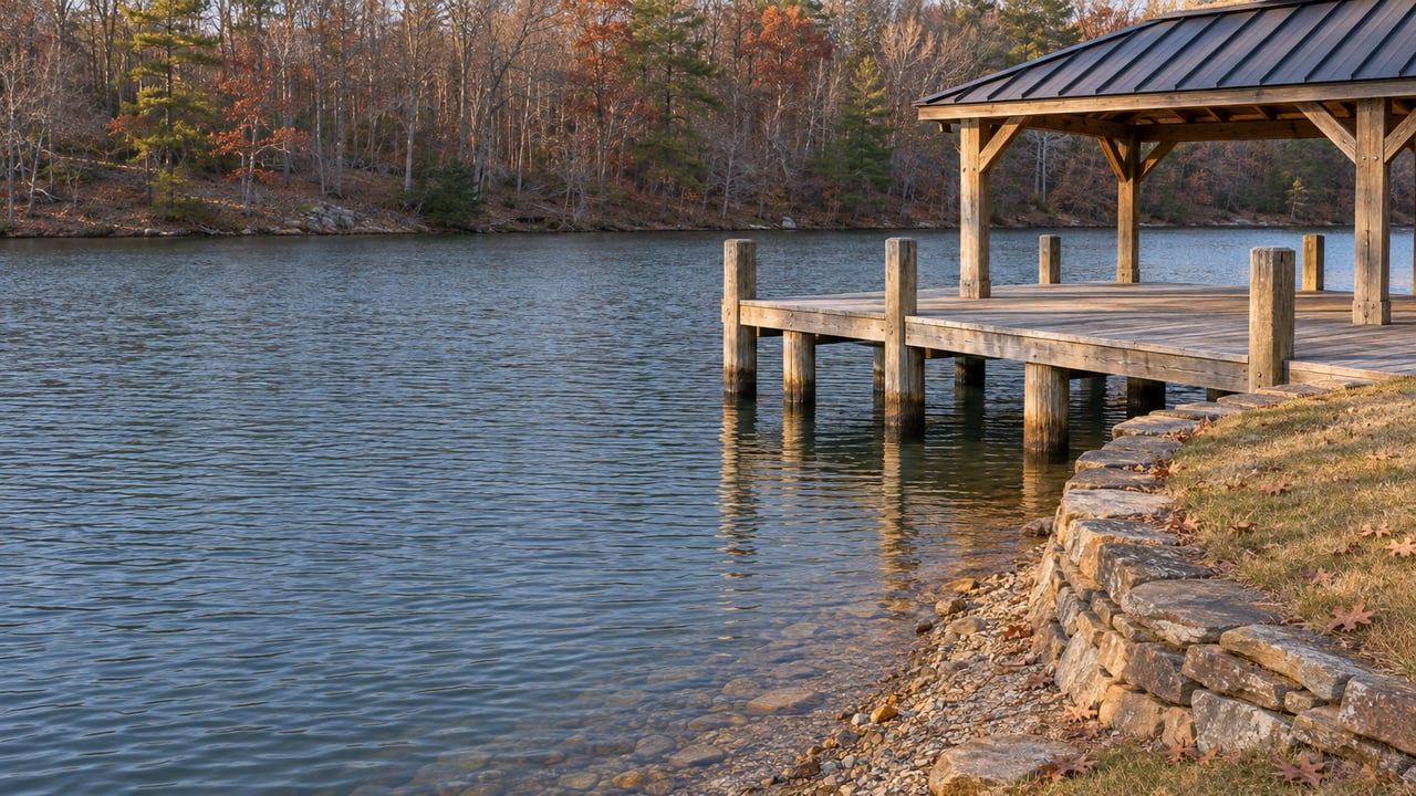

On Oct. 9 the lake read 788.86 feet. A week later, after a storm, it read 790.95, and some residents could launch their boats for the first time all year. Then the gauge started slipping back. In late October, Appalachian Power's lake-level page showed 790.55 feet against a full pond of 795.
Both numbers matter, and they point the same way. A big storm can move this lake fast. A refill takes months of wet weather, and the drought variance stays in place until the lake recovers, which AEP's July announcement defines as full pond.
Where the gauge has been this year
The lake's normal operating range is 793 to 795 feet, so the readings below are measured against a band, not just a single line.
| Date | Elevation | Source |
|---|---|---|
| July 7, 2026 | 788.64 ft | SMLA-hosted drawdown analysis |
| Labor Day weekend | 790.07 ft | Smith Mountain Eagle |
| Oct. 9, 2026 | 788.86 ft | Smith Mountain Eagle |
| Oct. 16, 2026 | 790.95 ft | Smith Mountain Eagle |
| Late October 2026 | 790.55 ft | Appalachian Power lake-level page |
To put those numbers against the lake's own history: the same analysis lists 788.52 feet on Nov. 28, 2001, and 788.83 feet on Jan. 11, 2002, and gives the record low as 787.60 feet on Jan. 23, 1970. The October 9 reading sat right next to the 2001 and 2002 lows. The lake is better off now than it was then. It is still about four and a half feet short of full and below the bottom of its normal range.
The October jump was real. According to the Smith Mountain Eagle, the lake's rain station recorded 2.10 inches on Oct. 11, while Roanoke and Salem got 3 to 5 inches that drained down the Roanoke River watershed into the lake. Roy Enslow, marina manager at Goodhue Boat Company at Blackwater, told the paper, "About 20-30% of residents I've talked with are now able to get their boats off the lifts." Michael Harless of the same company described the Deer Creek area in the same story: "All these docks back here when we were at 789' were on dry land."
So the storm came mostly from upstream rain, and it freed up something like a quarter of the docks Enslow had heard about. That leaves most of them still waiting.
Why Leesville Dam can't speed things up
Many lake residents assume Appalachian Power could fill the lake faster by holding back more water. The operating rules have already done most of that.
Appalachian Power runs the Smith Mountain Project under a FERC-approved Water Management Plan. The plan uses forecast-based trigger points, and each one cuts downstream flows further. According to an AEP fact sheet dated September 2026, Trigger 1 was reached April 27, Trigger 2 on May 11, and a variance to put Trigger 3 into effect began July 22. The same sheet says the company has released no more than the license minimum since summer 2025, apart from legally required capacity tests.
AEP's July 16 announcement of the variance says the plan's measures had saved about two feet of lake elevation up to that point. It says the variance allows further cuts to flows below Leesville Dam and "will remain in effect until Smith Mountain Lake returns to full pond elevation of 795 feet." Brannon Littleton, APCo's hydro manager, said the company would keep working with regulators "to seek options that allow us to bring better balance to recreational users, customers and downstream environmental impacts from the project."
The problem is the bottom of the rules. A July drawdown analysis, posted on the Smith Mountain Lake Association's site, found that natural inflow in July was about 330 cubic feet per second, below the license's 400 cfs minimum release. Once inflow drops below the minimum the dam must release, the lake goes down no matter how tightly the operator holds on. The same analysis puts the absolute minimum Leesville release at 400 cfs from March through October and 375 cfs from November through February. That floor drops a little this winter, but it never hits zero, and that steady outflow is why the lake slid from 790.95 to 790.55 after the storm.
The rain math
The drawdown analysis lays out the arithmetic. It is an independent reconstruction, not an AEP forecast, and it was done in July when the deficit was about 5.6 feet.
- Smith Mountain Lake covers roughly 20,260 acres, so raising it one foot takes about 20,260 acre-feet of net gain.
- Raising it one foot in 30 days takes inflow about 340 cfs higher than outflow, every day for a month.
- The lake drains a watershed of roughly 1,000 square miles, about thirty times the size of the lake itself.
- Because releases keep drawing the lake down during any refill, the analysis estimates a full recovery needs something like eight to eleven inches of above-normal rain across the basin over a realistic two-to-three-month wet stretch.
The paper's conclusion: "the operative lever is sustained regional weather, not any single storm and certainly not any adjustment to releases."
The deficit is smaller now than when that estimate was made, so the October storm counts toward it. The basin is still far behind, though. AEP's September sheet reported year-to-date rainfall averaging nine inches below normal as of Sept. 1, and it said August ranked among the driest on record across the region. After the October rain, the Eagle reported that Bedford County's drought status improved from severe to moderate. Franklin County stayed under a drought emergency, and voluntary water conservation requests remained in both counties. Water drains to the lake from both sides, and the Franklin side is still in the worse shape.
Winter keeps the rules in place
Even without this year's variance, the plan has a winter clause. Under the trigger rules, Trigger 3 applies if Trigger 2 is in effect and the adjusted elevation is below 795 feet between Dec. 1 and March 31, or if the adjusted elevation drops below 791 feet after Sept. 30. The plan's normal rules already anticipate Trigger 3 for a low fall and winter, and AEP's July announcement ties the end of this year's variance to reaching 795.
AEP's September sheet describes the exit a little differently. It says operations under the variance continue "until lake levels rise and predictive modles indicate stable inflows." Neither document gives a refill date.
The dry year has had one upside. In September, WSET reported that 52 SMLA volunteers finished the water-quality monitoring season with clarity close to the 20-year average. Less runoff meant less sediment, and Gills Creek and parts of the Blackwater channel improved most.
The exposed shoreline and docks
With mud showing below so many docks, plenty of owners are thinking about digging out a slip or lowering a lift. In July, Chamber of Commerce executive director Andrew Bruns told WSET that some owners couldn't launch from private docks because boat-lift cables were too short, and he mentioned ongoing modifications.
The meeting where the rules could change
The rulebook may get a closer look. In its Oct. 2 lake level update, SMLA said it had brought together APCo, the Tri-County Lakes Administrative Commission, the SML Chamber of Commerce, the Leesville Lake Association, Virginia DEQ and the Virginia Department of Wildlife Resources to push for changes to the Water Management Plan. The association called the discussion productive and said "the process will take time." APCo will hold a public meeting before the end of the year "to hear from everyone who enjoys the Smith Mountain Project watershed," and SMLA said it will post the date on its website and Facebook page once it is set.
Any changes would affect future droughts. For this winter, the lake depends on rain across the whole watershed, and Appalachian Power's live lake-level page is the best place to track it.
If you're weighing whether to lower a lift, plan a dock project or simply wait for spring, Kendra and the team at Virginia Realty Group are glad to share what we're hearing around the lake and connect you with trusted local marine professionals. Contact Kendra anytime. We're your neighbors at the lake, too.